Jerez Airport (XRY)
City Orientation and Maps
(Jerez de la Frontera, Spain)
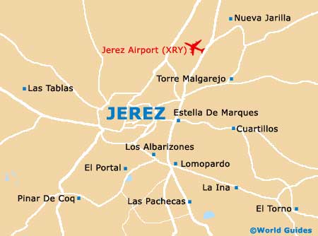
The city of Jerez de la Frontera lies on the southern coast of Spain, directly to the south of Seville, which can be reached in around one hour. Other nearby towns and locations close to the Jerez de la Frontera area include El Puerto De Santa Maria and Cadiz to the south, Arcos De La Frontera and Ronda to the east, and Sanlúcar De Barrameda to the west. Also nearby, El Cuervo De Sevilla, Lebrija and El Palmer De Troya can all be found to the north of the city, while Jerez Airport (XRY) lies nearby, to the north-east.
Jerez Airport (XRY) Maps: Important City Districts
The very centre of Jerez is sandwiched between the Plaza del Arenal and Alameda Cristina, both of which are connected by pedestrianised streets. The Old Quarter of Jerez is located on the western side of the city centre and is home to the ancient Almohad fortress, which is believed to date back to the 11th century.
The tourist information centres are located on the Plaza del Arenal and also at the Alameda Cristina, both of which are open seven days a week and contain a range of useful leaflets about Jerez de la Frontera and the structure of the city.
Many people staying in Jerez choose to visit the nearby town of Arcos de la Frontera, which lies around 30 km / 19 miles to the east, at the top of a high ridge. With an old town centre featuring cobblestone alleyways and streets, Arcos is home to many historic buildings and churches. Also nearby Jerez de la Frontera is the Parque Natural Sierra de Grazalema - boasting stunning views and a number of popular hiking trails, the charming village of El Bosque - around 33 km / 21 miles to the east of Arcos, and Grazalema - a picturesque village close to Arcos and known for its mountainous scenery.
Spain Map

Jerez de la Frontera Map